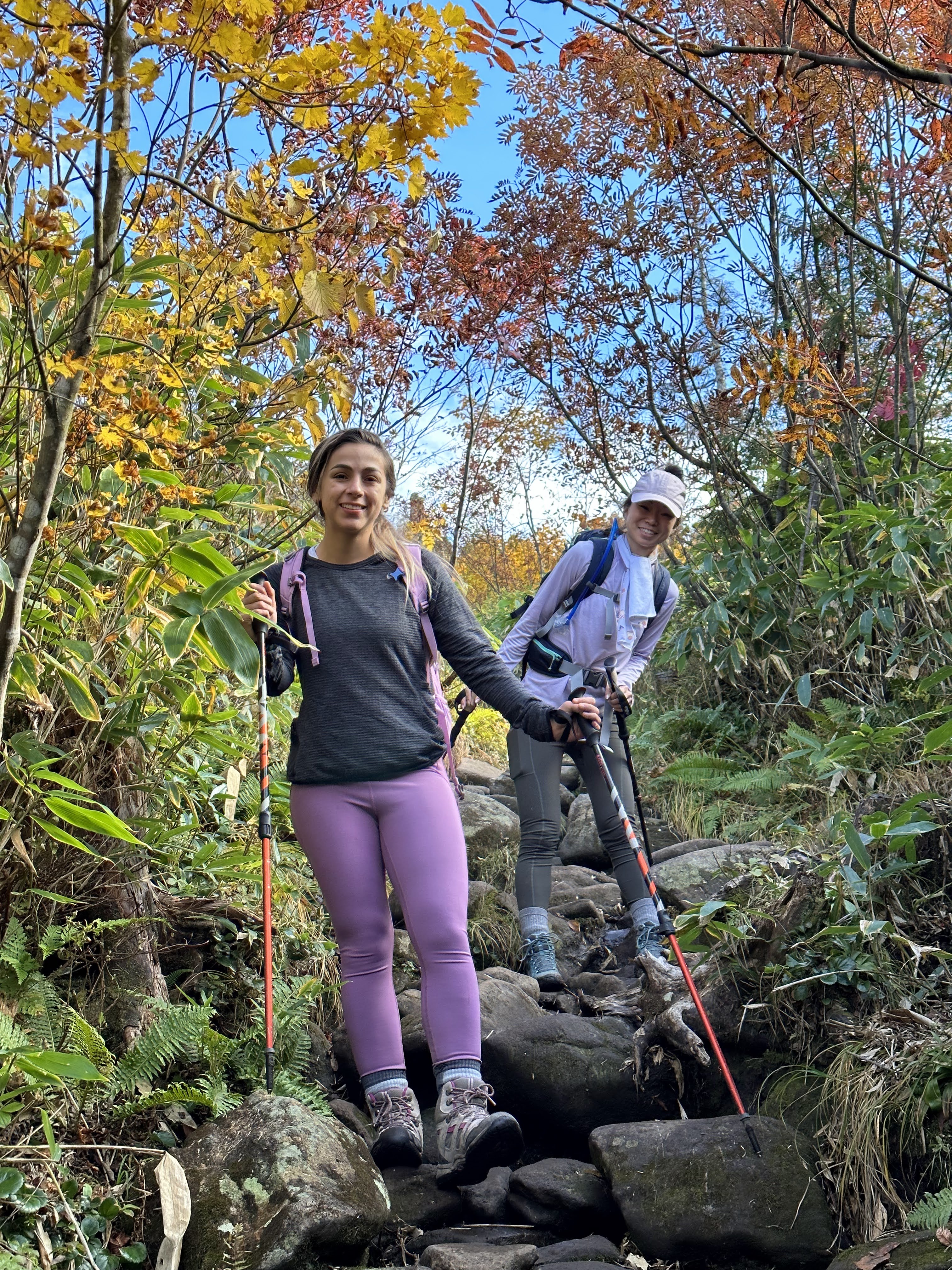
It's a successful hike with a view finally! This time, it's just us girls and all of our first time trying this Mt Naeba course.
This is the route we followed. We left early in the morning to get to the parking lot (苗場山 秡川登山口駐車場) at around 06:30 on a Saturday. There were a few parking spots left, but it was pretty full. Parking fee is 1000yen (honor system). There's also a 100yen (honor system) toilet in the parking lot area as well.
Lots of other hikers around signaled to me that the hike should be good (with good weather too!). First bit of the hike is on this paved road to get to Wadagoya which is one of the restaurants in Kagura during winter (snow sports) season. Stop to fill out your hiking plan here and see a few of the non-operational ski lifts.
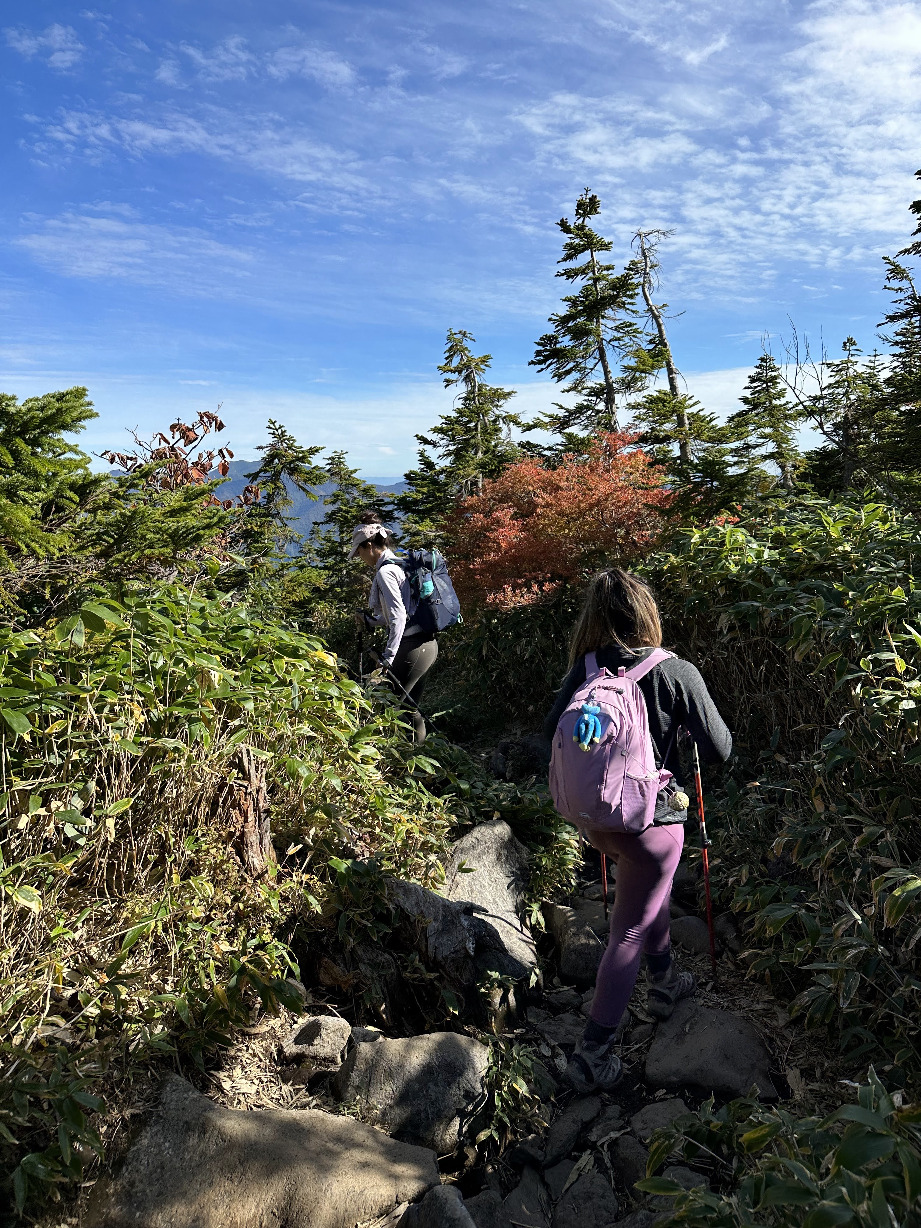
We happily hiked and chatted away on this trail. While there were a number of other hikers, at our pace, we weren't constantly surrounded, passing or being passed.
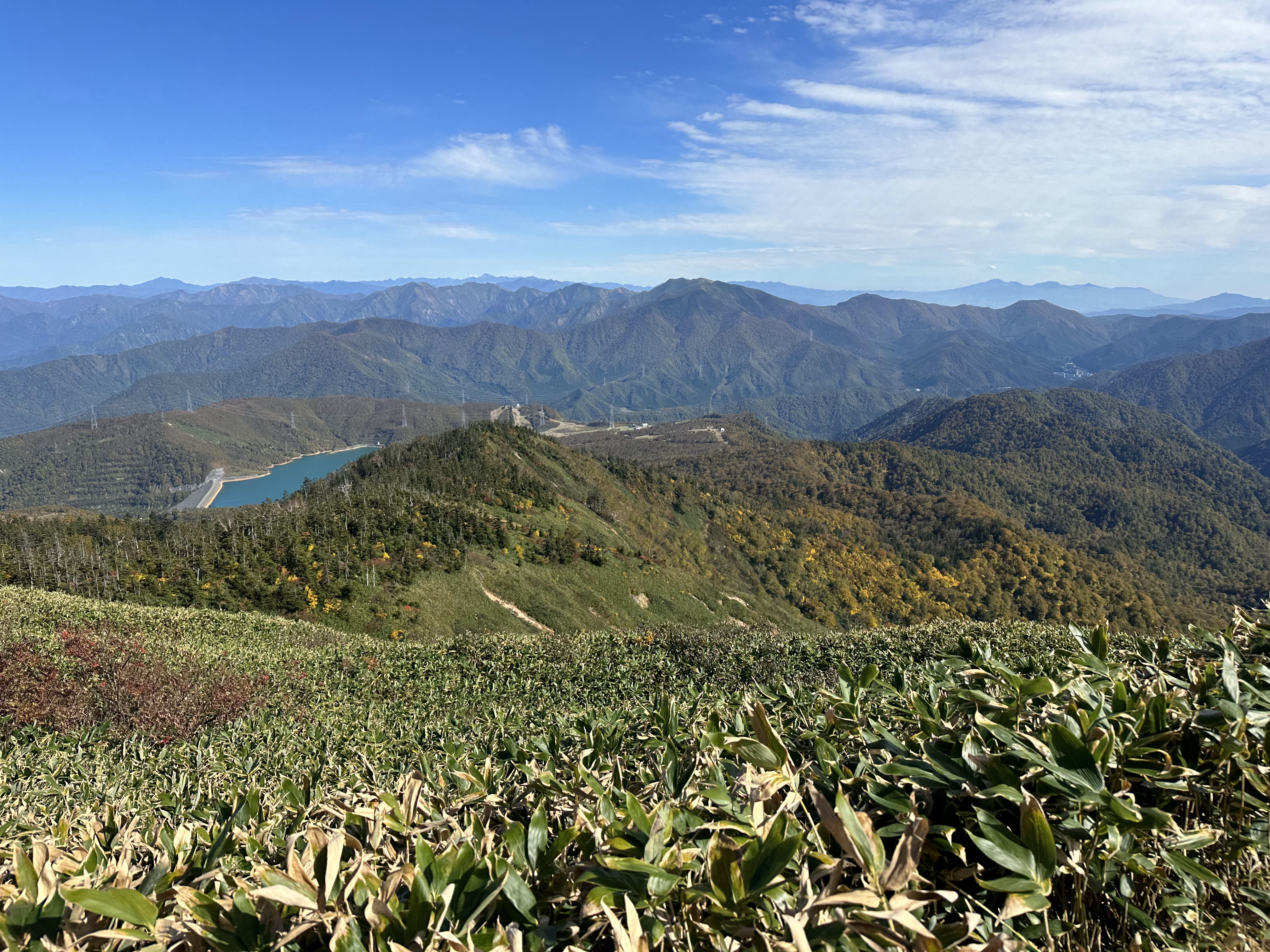
At the first clearing/opening, we were so happy to see the changing leaves/autumn colors against the blue sky which was so much nicer in person than I could capture in a photograph.
The trail is very well maintained and straightforward (no opportunities to get lost or DIY it) including some of these little "boardwalk" planks or stairs.
At the middle landing, there are a bunch of seating areas where you can stop to admire the view. There was a lot of red leaves for us!
And as you continue to ascend, Lake Tashiro is clearer and clearer as well.
About 60-75 minutes to go to get to the summit - we pass the marker for Kaguramine but there isn't much to look at at this spot from what we could tell.
You do start a little bit of a descent at that point though.
Highest point ahead is where we're headed for Mt Naeba.
Cold, drinkable mountain water is freely flowing from this pipe along the way as we get closer to our goal!
Summit! More boardwalks that define where you should be walking because it's a national park up here (Joshinetsukogen National Park). But there's lots and lots of paths and room for both directions in most areas, so it's well thought out and easy to use for hikers.
Nt Naeba summit at 2145m with bright blue skies. We arrived at about 10:45, approximately 4 hours from the parking lot.
There's a mountain hut at the top where we stopped for some rest and snacks (as well as a 100yen fee bathroom).
Since we didn't want to get back down too late, we did a very short walk around at the top near the mountain hut, but there are easily 1 hour+ long hikes you can do up here on its own!
Descent time! Same course as the way up, just opposite direction. It was nice to have an alternate view of the hike now facing out lol.
Had the middle landing area completely to ourselves for about 7 minutes on our way down. It was so crowded when we were ascending, so we took our time here and just chilled out before continuing on our way.
We weren't as speedy on the descent and took about the same amount of time going down as we did going up (usually it takes about an hour less lol), but we were happy to finally see Wadagoya again. Stopped for a bathroom break and to clean off our shoes and sticks a little bit. The trail was more muddy than we had anticipated considering how nice the weather was leading up and during the hike!
This was the first hike I feel like I could consider a complete success! We had beautiful weather, great timing for the fall colors, a wonderful view at the top, and no injuries except a couple of minor bruises from bumping into rocks/tree roots.
Since this was my last hike in Japan (we'll leave before the next hiking season), I'm glad it was such a good experience. Looking forward to coming back to Kagura for snowboarding in the winter and seeing the mountain in a very different setting!:


No comments:
Post a Comment